This article was published in Scientific American’s former blog network and reflects the views of the author, not necessarily those of Scientific American
In the past three weeks three harsh nor’easter storms have battered the northeastern U.S., bringing the total to five for the winter. A sixth may be forming this week, which is highly unusual. Four of the five storms were bomb cyclones, a legitimate technical term that means the atmospheric pressure within the nascent storms dropped rapidly and radically, causing them to “blow up” into raging beasts.
Scientists have been predicting these very circumstances. And now they have new data showing that the rapidly warming Arctic is at least partly to blame.
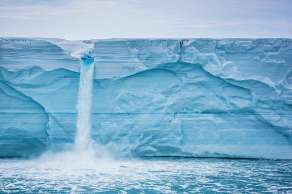
Conditions in the Arctic have gone crazy. In late February, for example, temperatures in some locations spiked more than 50 degrees Fahrenheit above normal. More than a dozen major climate records have been broken in just the past three years: high winter temperatures, low winter and summer sea ice, extensive thawing of permafrost, and so on. But unlike in Las Vegas,what happens in the Arctic does not stay in the Arctic. For almost a decade, scientists have been predicting that rapid Arctic warming may disrupt atmospheric circulation patterns, including the infamous polar vortex, that control winter weather all around the northern hemisphere, including the U.S., northern and central Europe, and northern Asia.
On supporting science journalism
If you're enjoying this article, consider supporting our award-winning journalism by subscribing. By purchasing a subscription you are helping to ensure the future of impactful stories about the discoveries and ideas shaping our world today.
Jennifer Francis, an Arctic and weather specialist at Rutgers University, was one of the first scientists to connect these dots. At an American Geophysical Union conference way back in 2011, she presented a hypothesis and preliminary data analysis indicating that a warming Arctic and related climate changes could conspire to alter the jet stream and extreme weather. She explains the phenomenon nicely in an article that Scientific American released today.
We see the jet stream on weather maps all the time: the familiar big wave that rises from the Pacific Ocean north toward Alaska then plunges southward across the mainland U.S. toward the Gulf of Mexico. The new idea is that very wavy jet-stream patterns would occur more often, and those weather-producing waves would move west to east across North America more slowly than usual. When these large waves form they tend to hang around a long time, creating prolonged weather conditions that can lead to droughts, long cold spells, nor’easter after nor’easter and even winter heat waves. Scientific American published graphics in a 2014 article by Jeff Masters at the Weather Underground that show how this would work.
Last week, Francis and two co-authors published a paper in Nature Communicationsthat makes a bold assertion: these linkages are no longer a hypothesis. A growing stack of climate studies conclude that they are happening. The paper, which includes more than 65 years of observations, finds a strong correlation between unusually warm Arctic temperatures and extreme winter weather in the eastern U.S.
In the Northeast, three monster nor’easters in three weeks is certainly extreme. For people on Cape Cod who have been without power for a week, for residents of Boston shore towns whose homes have been wrecked twice by record high tides and waves, for people in interior communities who got two feet snow at once, the streak represents a new normal: storms that are nastier and stick around longer than anyone would like.