This article was published in Scientific American’s former blog network and reflects the views of the author, not necessarily those of Scientific American
On this day in 1980, an earthquake beneath Mount St. Helens got everyone's attention. Within two months, much of her summit would be lying on the North Fork Toutle River valley floor, the lush forests stripped away, and our views of her changed forever.

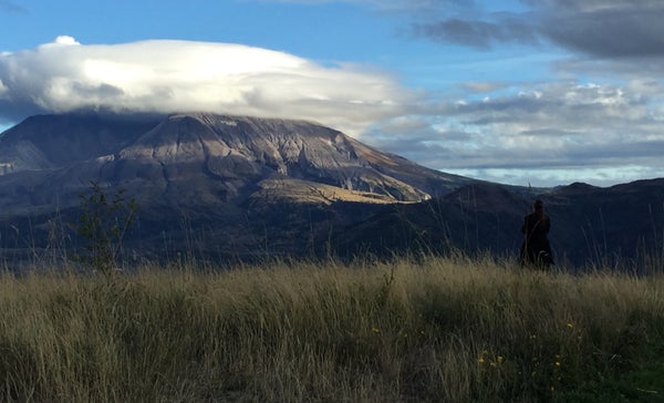
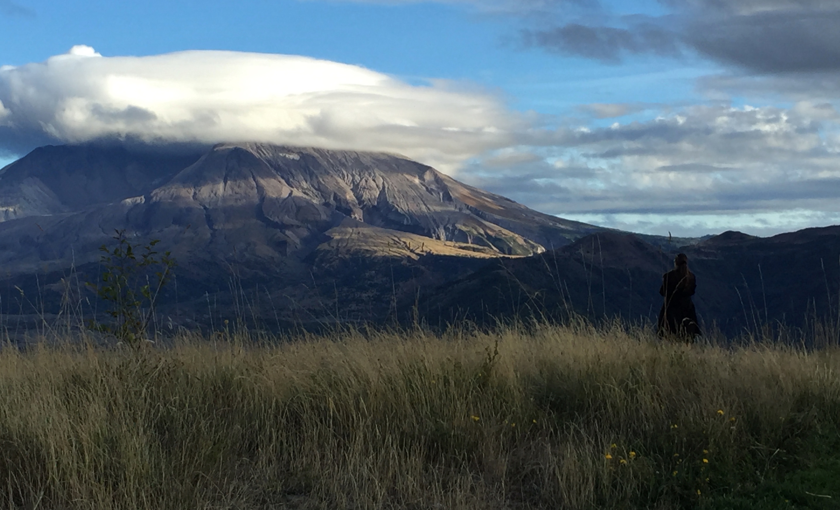
My dear friend Suzanne took the above photograph during one of our visits. Perspective makes the grass look almost as tall as me -but it's waist-high at best, possibly shorter. I was completely entranced by the mountain, so I didn't notice the exact height. But I'd probably remember slogging through something trying to poke me in the eyeballs. And, of course, the volcano towers over us all, even though it's off in the distance up and across the broad valley.
On supporting science journalism
If you're enjoying this article, consider supporting our award-winning journalism by subscribing. By purchasing a subscription you are helping to ensure the future of impactful stories about the discoveries and ideas shaping our world today.
It's not just perspective that makes Mount St. Helens look so huge. It is so huge! To give you an idea of how huge, even with nearly two thousand feet of its summit missing, check this out:
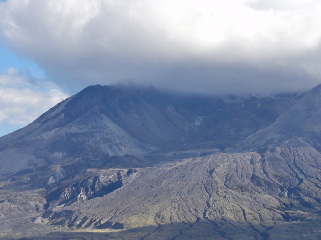
Can you see the helicopter in that photo I took? No? Let me crop that for you:
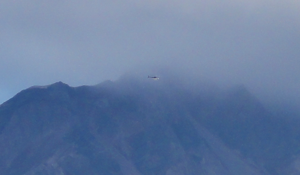
Yep, that wee spec is a Bell JetRanger, which is about 40 feet long. Here's one parked at Hoffstadt Bluffs:

And to give you some additional perspective, here are some people standing beside one.
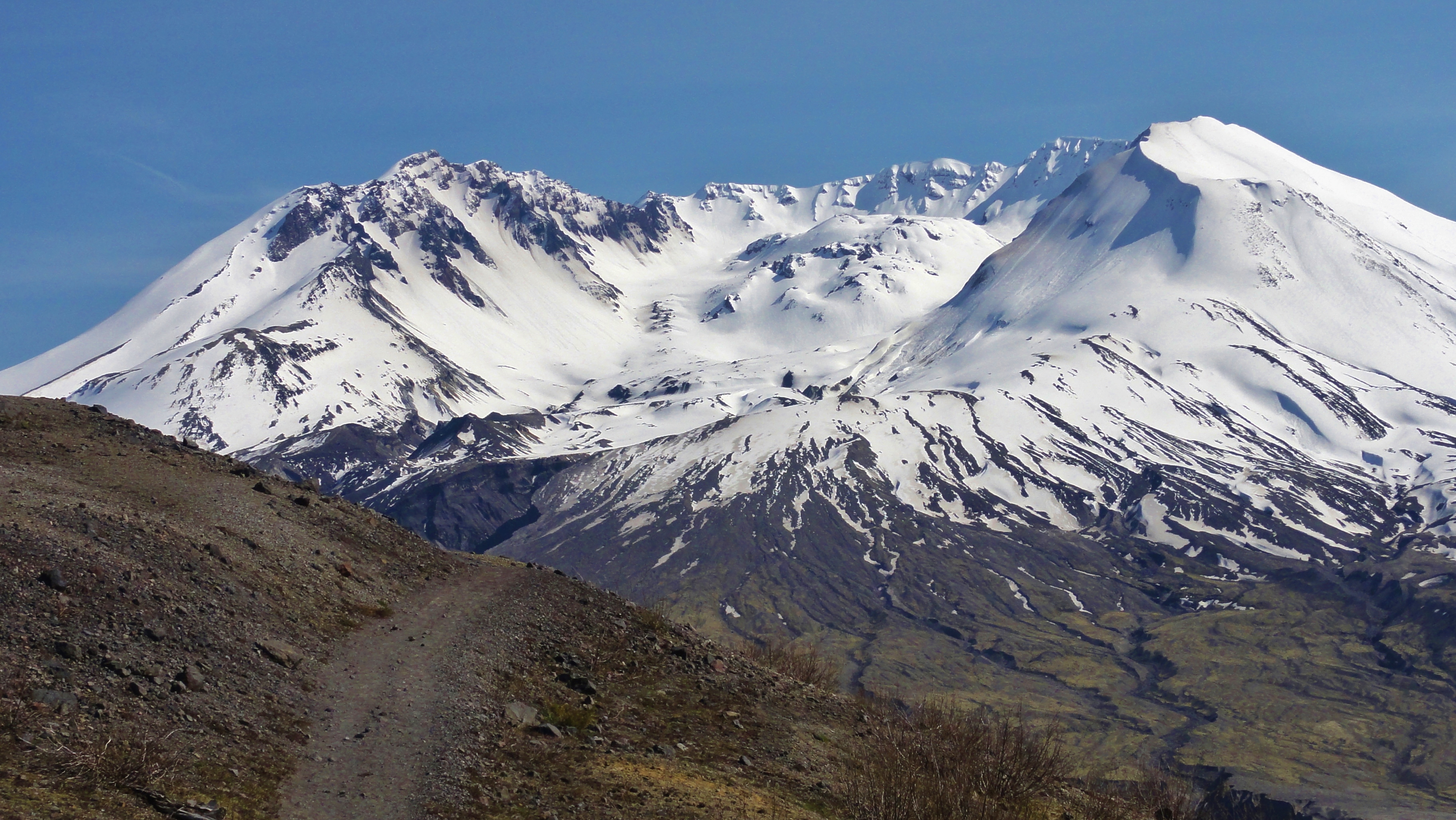
Alas, I have no photos of a helicopter right in the middle of the crater, but here's a lovely shot from one of the trails at Johnston Ridge, showing you what's inside.

That mound of lava in the crater that looks like a blister? That's around 1,000 feet tall. This pdf has a lot of stats on how big the dome is, all concluding: it's huge. Yet it doesn't even fill the crater left by the May 1980 eruption.
Amazing, isn't it?