This article was published in Scientific American’s former blog network and reflects the views of the author, not necessarily those of Scientific American
I'm about to show you one of the most delicious results of the May 18, 1980 eruption of Mount St. Helens. But first, I need to introduce you to the South Side Approach! It's got some really incredible views and absolutely gorgeous examples of Mount St. Helens's eruptive history. You will love love love it! A version of this post was originally published at En Tequila Es Verdad.
We did it! We made it to the South Side! It's tremendously awesome.
On supporting science journalism
If you're enjoying this article, consider supporting our award-winning journalism by subscribing. By purchasing a subscription you are helping to ensure the future of impactful stories about the discoveries and ideas shaping our world today.
This is the first time I've been up Highway 503. It's gorgeous, and I can definitely recommend it. The approach will give you some sense of what Mount St. Helens and its environs looked like before the May 18, 1980 eruption. It's full of trees - so full that you don't get to see much of the mountain for a long way. But if you stop by Yale Park and step out on the boat ramp on your way up the road, you'll get a lovely little glimpse.

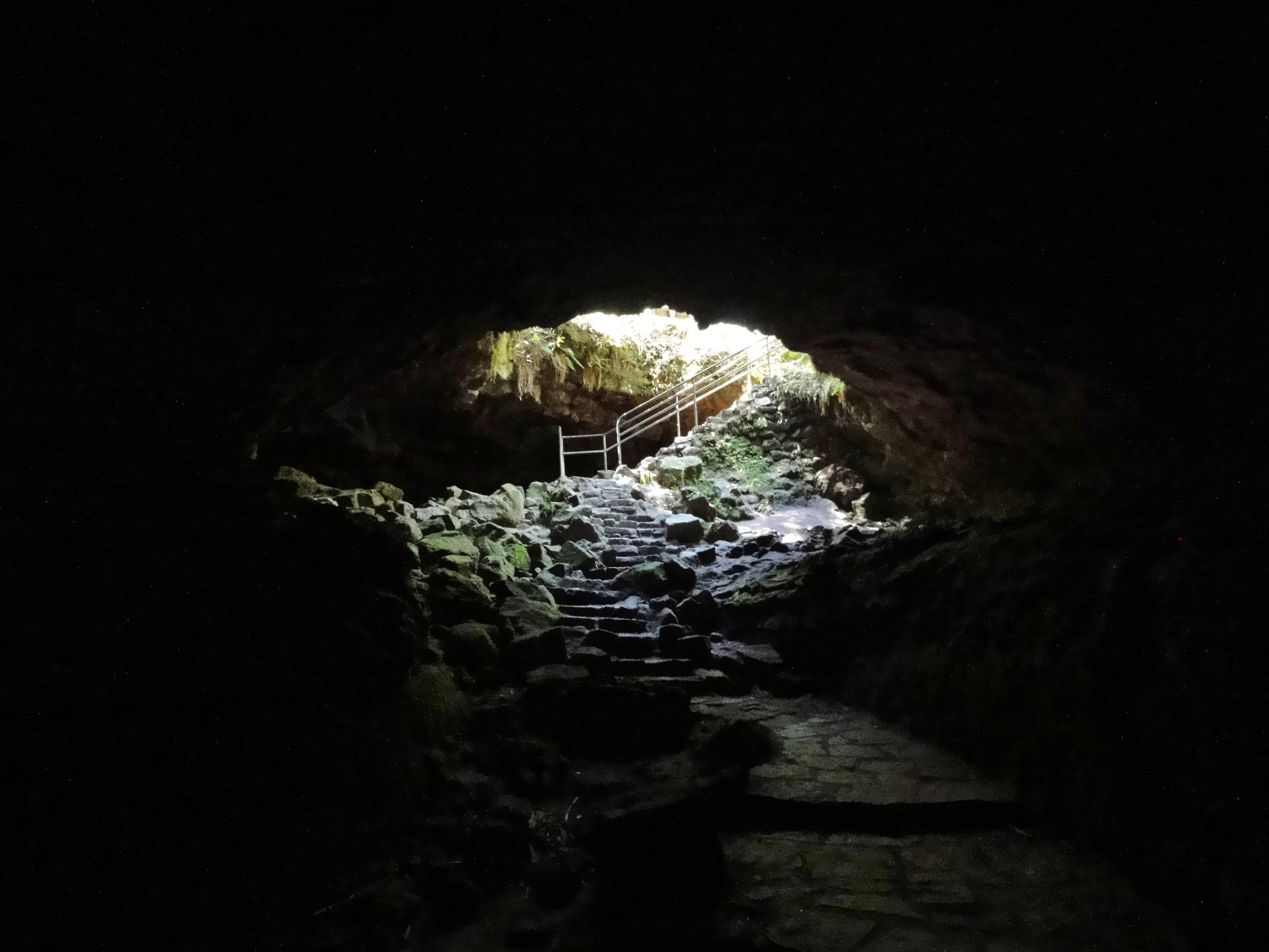
We made it up to Ape Cave, which is a huge and popular lava tube in a 2,000 year old basalt lava flow. We parked in the overflow parking and took the trail over, which leads past a streambed full of delightful pahoehoe lava. I haven't seen pahoehoe in years! This made me squee a lot.

Mount St. Helens typically erupts andesite and dacite, but this is one of her rare basalt lava flows, and it is just a complete delight. I was stopping every few seconds to scream with joy and take more photos. I'm so lucky B's patient about my geology obsession.
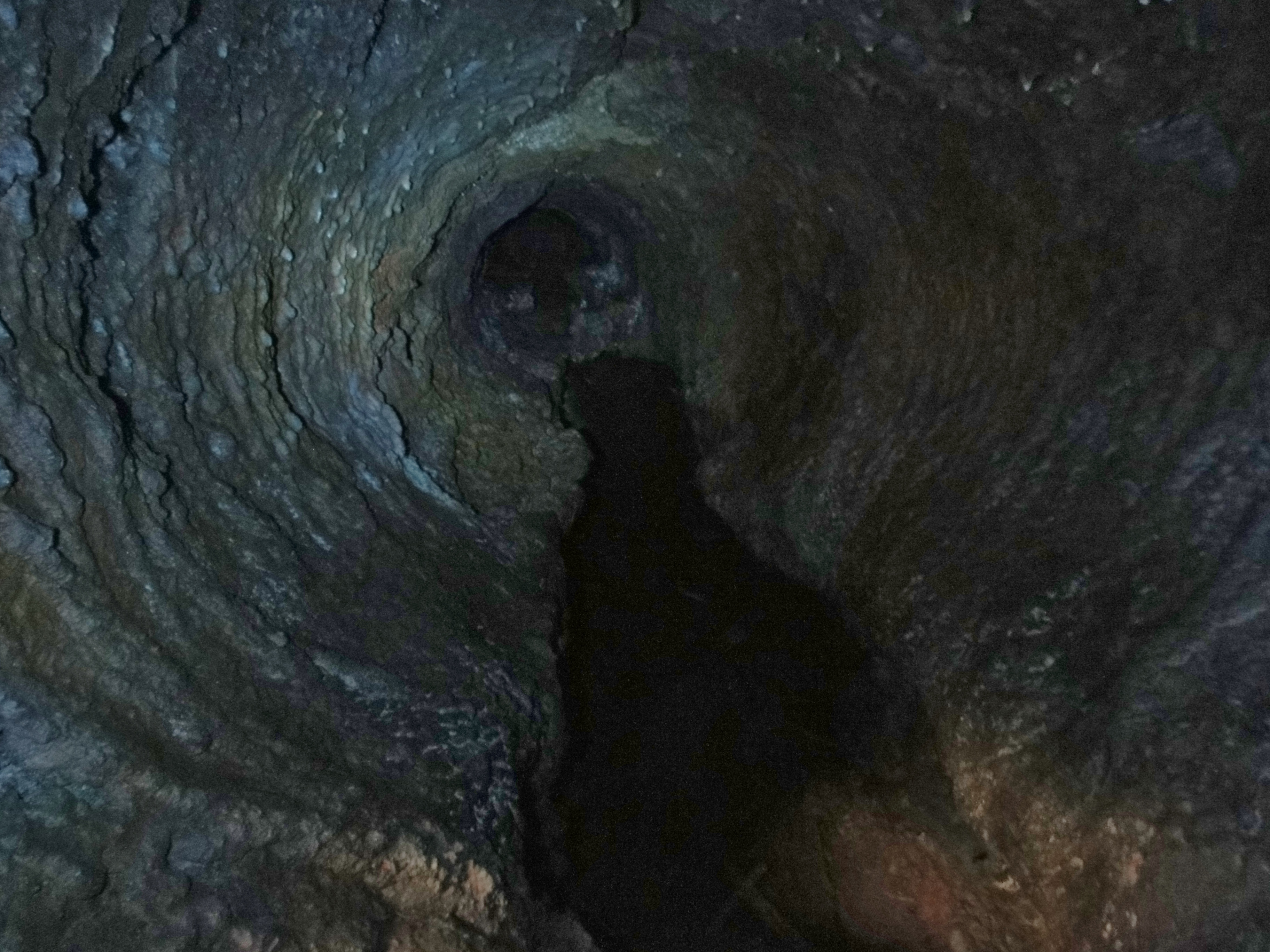
We were going to explore all the delictible geologic features of Ape Cave, but although we followed the advice of the guide and brought three light sources, none of them were powerful enough to contend with the light-sucking power of the lava tube. It swallows flashlight beams whole. We decided that since we could barely see the ground we were walking over and couldn't see features of the walls at all, we'd give it up at the entrance. We'll return someday soon with mucho grande light power. But our aborted mission wasn't a complete loss: we did get some lovely shots at the entrance.

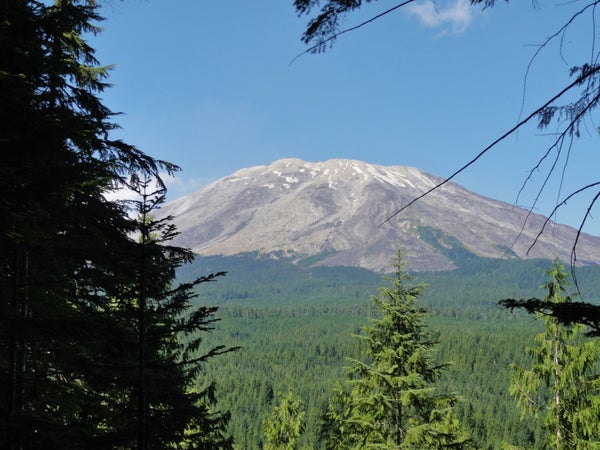
You won't be disappointed that we didn't do the cave just yet. You see, it gave us time to go up the volcano vista trail, which is a sorta-steep but easily doable one mile hike to a beautiful overlook of Mount St. Helens.

How about that view, eh wot?! From here, you can barely tell this volcano erupted only 35 years ago. But that pronounced flat top and the very low level of her tree line gives it away. She'd lost almost all of her snow by the time we got there in mid-July - it's been a super hot and dry summer. But I loved it! You can see so much more of the geologic detail without all that cold white stuff in the way, and I think she's just as gorgeous without.
And now for a biology interlude. On the way down, we heard scrambles in the underbrush. It turned out to be an adorable woodland critter.
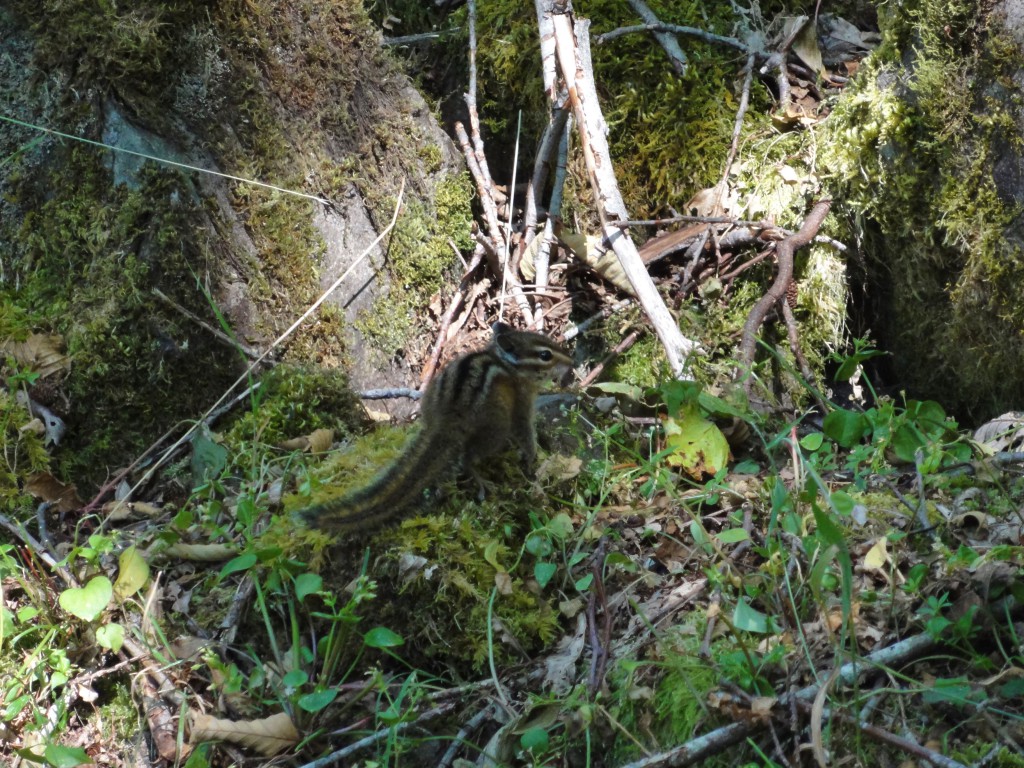
D'aw.
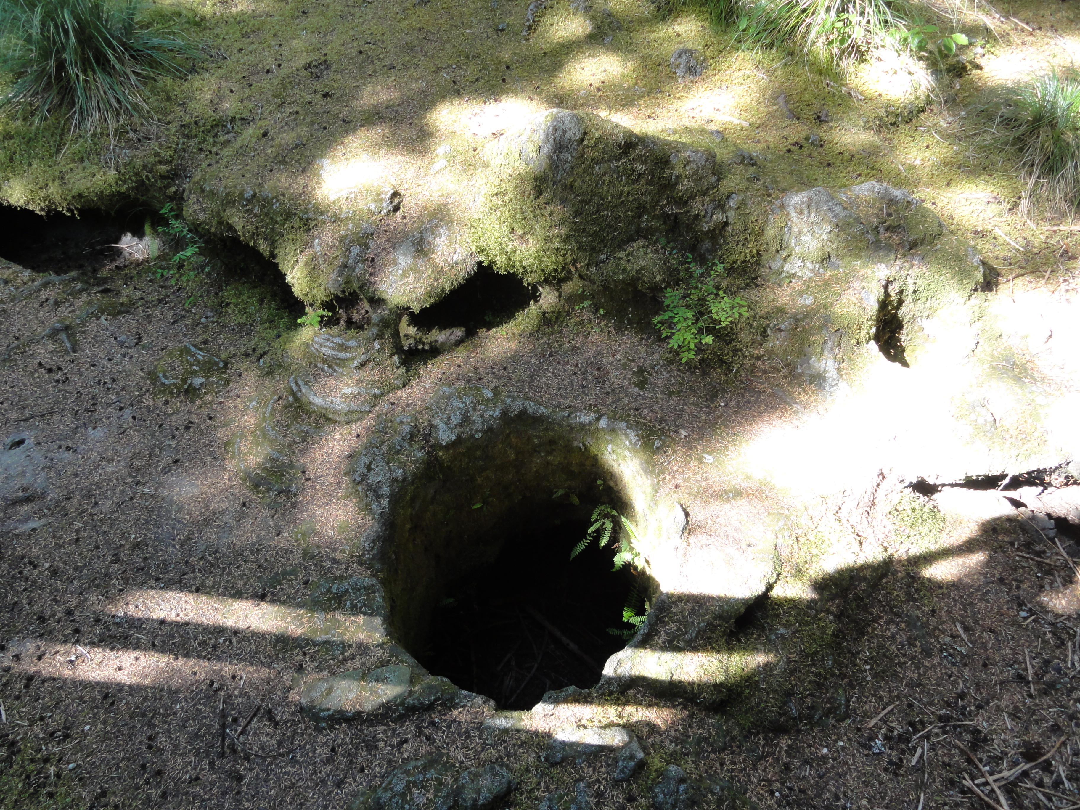
After Ape Cave and the super-awesome side trip, we headed to the Trail of Two Forests. Here, a forest was buried by the same flow that created Ape Cave. It's full of tree casts, which are hollow tubes left behind after lava engulfs a forest. One of them is big enough to crawl through. I didn't do the crawl, but I did get a bonza picture for you.

There are places where you can see the impressions left by the bark. I took many photos and will treat you to a thorough walk-through some time. For now, please content yourselves with a photo of the lava casts and an adorable little pahoehoe lavafall.

Then we went up to Lava Canyon. To get there, you have to pass over large flats created by lahars from the May 1980 eruption. Here's an image of Mount St. Helens from the Lahar Viewpoint:

So yeah, those trees are all less than 35 years old! It's jarring, coming across that after miles and miles of thick old forest.
The lahars scoured the trees and some of the rock out of the Muddy River gorge, leaving behind the awesomesauce Lava Canyon. We did the loop trail, from which you get views like this:

I took this from the middle of the suspension bridge, which was a bit of a hair-raising experience. We took it slow and clung to things, and tried not to look down between the slats.
Further along the other end of the trail, there's a lovely entabulature from an old lava flow.

And shortly after, there's a tamer bridge over the gorge, from which you can see gorgeous flowing water.

On the way out, we saw a sign for the Stratigraphy Viewpoint, but didn't have time to stop. There's so much amazing stuff to see on the south side, from old eruptions and new! We've got lots to explore when we come back next, but that was a thoroughly satisfying initial foray.